
Walking Route Maps
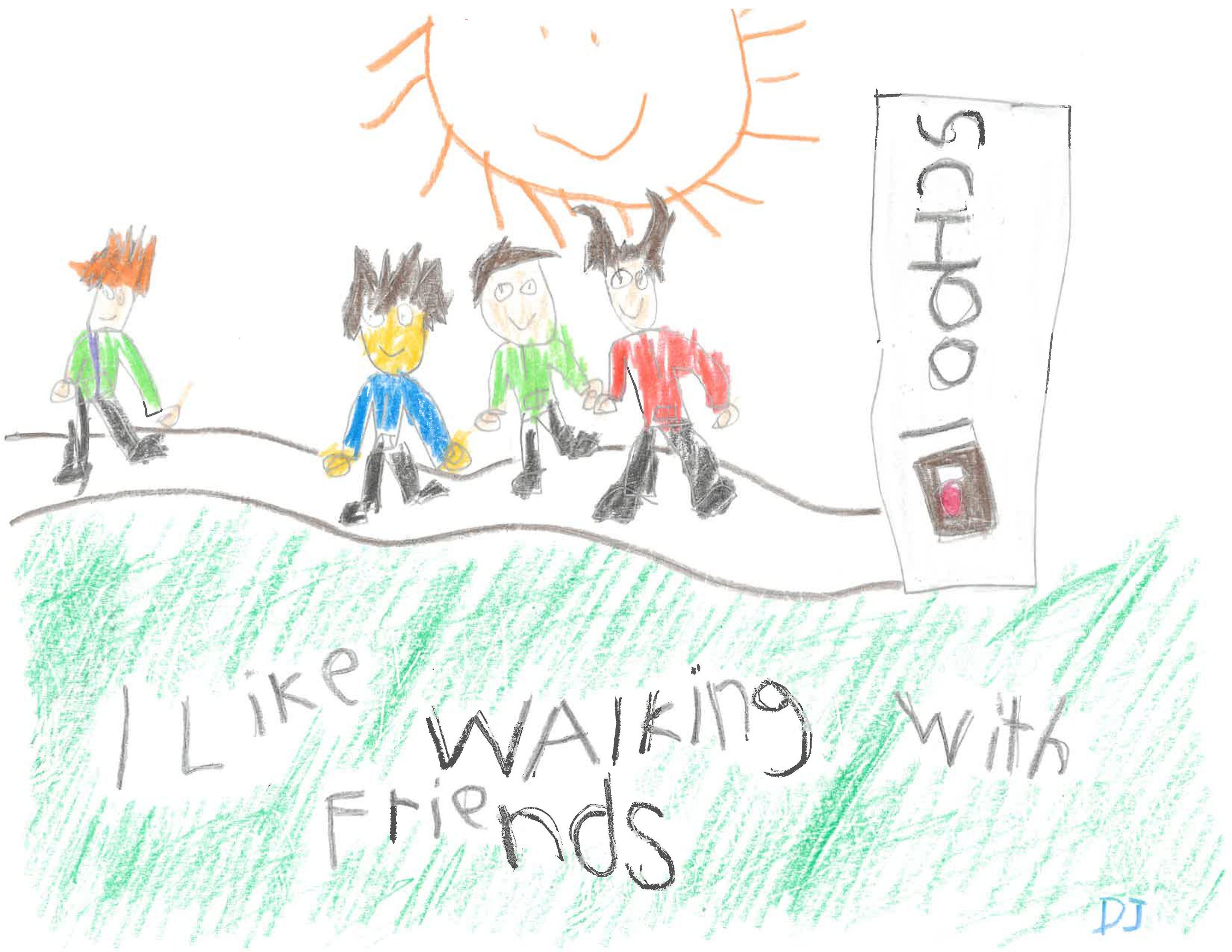
Art by DeShawn, Chapman Hill Elementary School
Are you interested in walking to school but not sure how to begin?
We are creating recommended walking route maps for all the Salem-Keizer elementary schools. For this project, we conduct on-site assessments of the existing infrastructure for walking, including sidewalks, crosswalks, and speed limits around each elementary school. Using this information, we create maps to help students and parents figure out the best routes for walking to school.
We will continually update this page as we complete maps for each school. Here are the maps we have available thus far:
Keizer Walking Route Maps
The City of Keizer has walking route maps and directions available on their website for all Keizer schools. Check them out!